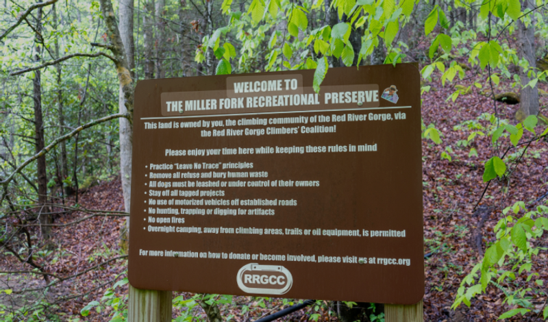
Miller Fork Recreational Preserve
The Miller Fork Recreational Preserve (MFRP) is a 309-acre tract of land in Lee County, Kentucky, that the RRGCC closed on in May of 2013 with the help of the Access Fund’s Land Conservation Campaign. The Miller Fork parking lot, completed in the summer of 2014 with help from local oil and construction companies, is located on about a mile down an offshoot road, after it splits from Hell Creek road, just before a wide creek creek crossing. Its GPS coordinates are 37°38'31.9?N 83°40'44.0?W (37.642204, -83.678900). To get there, travel 9.3 miles away from Miguel's towards Beattyville. Turn left on Schumaker Ridge Road and travel 3.5 miles down the road. Turn right on Hell Creek Road (no sign for the road) and go down a steep gravel road that is next to the Sunrise Mountain Retreat and Angel Falls Rd. There is a signpost for the MFRP, but occasionally it has been vandalized. Travel .8 miles down the hill. At the bottom of the hill turn right on the gravel road before the creek. Travel 1.2 miles down this road and the parking lot will be on the left